Corinthian Island
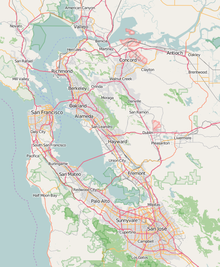
Island in CaliforniaCorinthian Island is a former island in the San Francisco Bay, that was later attached to the mainland. It is in Marin County, California, by the Tiburon Peninsula. Its coordinates are 37°52′22″N 122°27′32″W, and the United States Geological Survey gave its elevation as 72 ft (22 m) in 1981. It appears on a 1950 USGS map of the area.
Read article
Top Questions
AI generatedMore questions
Nearby Places

Belvedere, California
City in California, United States

Tiburon, California
City in California, United States

Belvedere Island
Island in Marin County, California, United States

Belvedere Lagoon
Lagoon in the state of California, United States

Old Saint Hilary's Church
Historic church in California, United States

Belvedere Tiburon Library

Tiburon Ferry Terminal

Tiburon Railroad & Ferry Depot Museum
United States historic place


